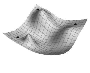
Preparing for the Descent
- You will need a mobile device in order to do the mapping. Fully charged with internet access
- Find a place that has a high elevation, so that will allow for a descent
- The instructions can be followed anywhere in an urban or natural environment
- The duration is up to you
- By using the app you consent to your GPS position and phone sensor data to be tracked for the project
Walking instructions
- Start from any point that has an elevation
- Move one step at a time towards the direction that feels the steepest
- Pay attention to the way your route intercepts any existing paths
- Stop when you feel that you are at the lowest point